Pilot dive-site draft
Montaña Amarilla
A shore or boat dive around volcanic spires, arches, reef terraces and sand near Las Galletas in southern Tenerife.
What the dive is like
Montaña Amarilla combines pale sand with volcanic rock, spires, arches and sheltered reef terraces. Routes vary, so the shallower training area and longer routes through more complex formations should not be presented as the same dive.
The official Canary Islands guide reports weak current, an average depth of 15 metres and a maximum of 25 metres. Local operators publish different ranges, including 5 to 21 metres and 8 to 27 metres. The structured record therefore keeps the official 25 metre maximum and does not claim a settled minimum depth.
Experience and planning
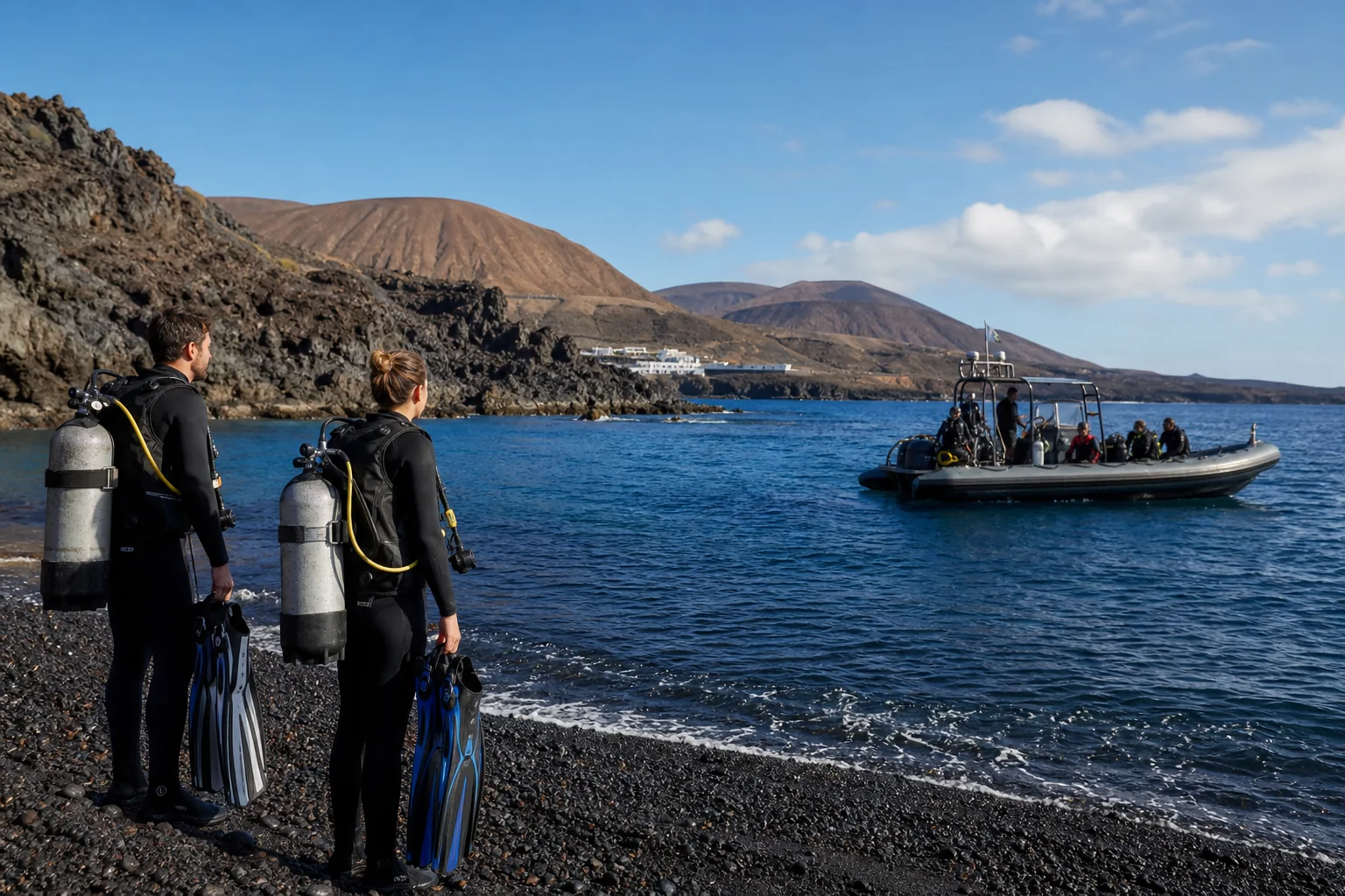
Shallower routes can suit less experienced divers with appropriate supervision. Longer routes, swim-throughs and deeper sections require good buoyancy and route awareness. Shore access and boat access are both reported, but the exact plan depends on the operator and sea state.
Map
Find Montaña Amarilla
Pins use geographic coordinates, so they remain attached to the same location as the map moves or zooms. Select a labelled pin to open its page.
Marine life
What you may encounter
- Moray eels
- Glasseyes
- Garden eels
- Flounder
- Angel sharks in suitable sandy habitat
Sightings vary by site, season and conditions; none are guaranteed.
Practical notes
Plan the dive properly
- Confirm whether the planned dive starts from shore or boat.
- Ask which route and depth range the operator intends to use.
- The coordinate represents an approximate shore entry, not every underwater route.
- The surrounding land is protected; the precise marine rules and boundaries still require authoritative confirmation.
- The hero image is illustrative and does not depict Montaña Amarilla.